*Disclaimer: Webcam content should not be used for flight planning purposes. The webcams below may not show current live picture. FlyColorado.org recommends obtaining a full weather briefing prior to any flight.
Northwestern Colorado
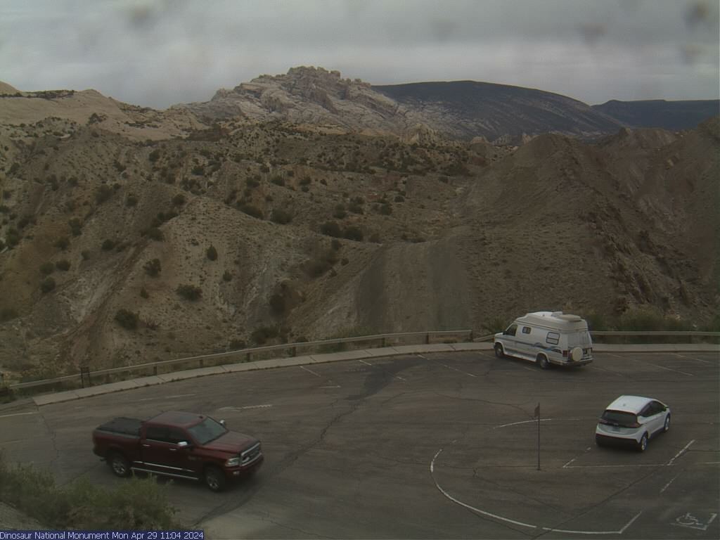
Dinasour National Monument Park, Quarry Exhibit Hall, northwest of Rangley, Colorado, looking northeast. Provided by National Park Service.
Hwy 64 - 20 miles east of Rangley, CO looking east. Provided by COTrip.org.

Grand Junction Area
Utah / Colorado state line looking east. Provided by COTrip.org.

Grand Junction, Colorado looking southwest. Provided by Davcal on Weather Underground.

Cedaredge, Colorado. Provided by iotaprime on Weather Underground.

Southwestern Colorado
Black Canyon National Park, Gunnison Point, near Montrose, looking north. Provided by National Park Service.

Loghill camera located in Ridgeway, Colorado looking south. Provided by Ridgewaycam.

Hwy 62, Dallas Divide, Colorado east. Provided by COTrip.org

Ouray, CO look south, Hwy 550 runs through downtown. Provided by StuartMW.

Ophir, CO looking east near Trout Lake towards Yellow Mountain (12,933'). Provided by Tride Weather Underground.

Camera located at Telluride Airport - provided by the Telluride Airport Authority.
Silverton, CO looking southeast towards Kendall Mountain (13,338'). Provided by Ag2000CO Weather Underground.

Durango Mountain Resort, Durango Colorado looking northeast (camera can change position). Provided by Durango Mountain Resort.

La Plata mountains north of Durango, Colorado looking northwest. Provided by durangolivecam.com.
Durango, Colorado on Smelter Mountain looking north. Provided by durangolivecam.com.
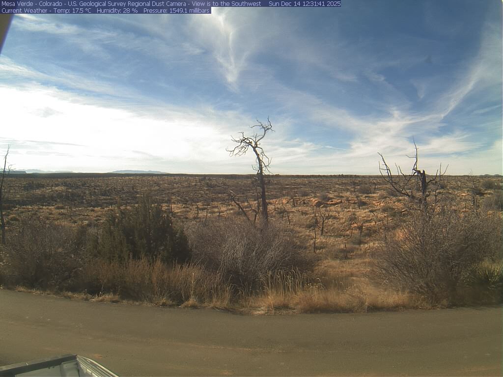
Mesa Verde, Colorado (near Cortez) looking southwest. Provided by the USGS.